
- Reduced price
- New
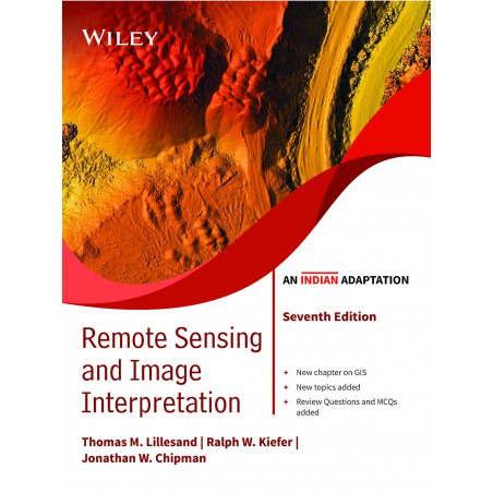
| Title | Remote Sensing and Image Interpretation, 7ed, An Indian Adaptation |
| Author | Thomas Lillesand; Ralph W. Kiefer; Jonathan Chipman; Dr. P. K. Champati Ray |
| ISBN-13 | 9789354642104 |
| Publication | WILEY |
Remote Sensing and Image Interpretation is designed to be primarily used in two ways: as a textbook in the introductory courses in remote sensing and image interpretation, and as a reference for the burgeoning number of practitioners who use geospatial information and analysis in their work. Because of the wide range of academic and professional settings in which this book might be used, the discussion has been made “discipline neutral.” In short, anyone involved in geospatial data acquisition and analysis should find this book to be a valuable resource.
 For General Enquiries E-mail support@madrasshoppe.com
 COD Available. Delivery Time 4 - 7 Working Days in India.
 Trusted by over 100K+ customers. Verified and Trusted Cashfree Online Payment
Remote Sensing and Image Interpretation is designed to be primarily used in two ways: as a textbook in the introductory courses in remote sensing and image interpretation, and as a reference for the burgeoning number of practitioners who use geospatial information and analysis in their work. Because of the wide range of academic and professional settings in which this book might be used, the discussion has been made “discipline neutral.” In short, anyone involved in geospatial data acquisition and analysis should find this book to be a valuable resource.
Thomas Lillesand; Ralph W. Kiefer; Jonathan Chipman; Dr. P. K. Champati Ray is the author of Remote Sensing and Image Interpretation, 7ed, An Indian Adaptation.
Disclaimer:
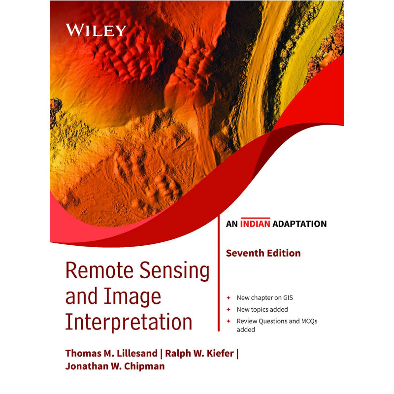
| Title | Remote Sensing and Image Interpretation, 7ed, An Indian Adaptation |
| Author | Thomas Lillesand; Ralph W. Kiefer; Jonathan Chipman; Dr. P. K. Champati Ray |
| ISBN-13 | 9789354642104 |
| Publication | WILEY |
Remote Sensing and Image Interpretation is designed to be primarily used in two ways: as a textbook in the introductory courses in remote sensing and image interpretation, and as a reference for the burgeoning number of practitioners who use geospatial information and analysis in their work. Because of the wide range of academic and professional settings in which this book might be used, the discussion has been made “discipline neutral.” In short, anyone involved in geospatial data acquisition and analysis should find this book to be a valuable resource.